INSTITUTO DE ASTRONOMÍA Y FÍSICA DEL ESPACIO

The Earth from Space

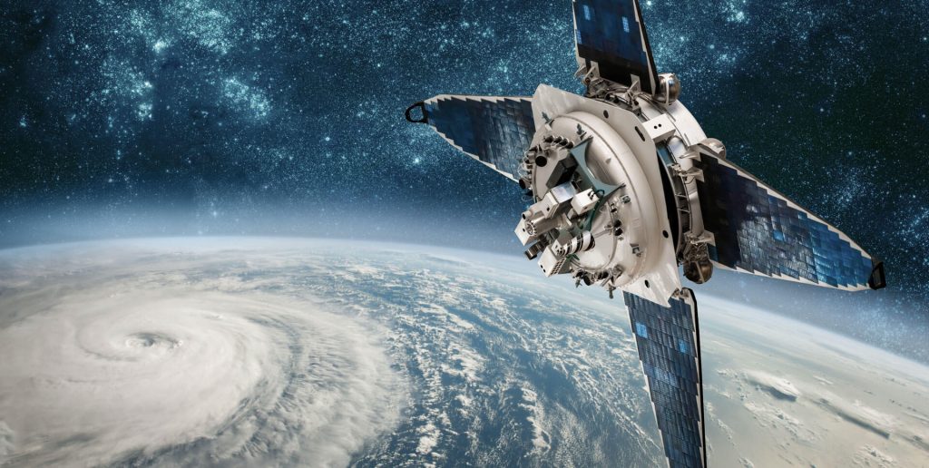
Satellites make it possible to study planet Earth on a large scale from space and in a sustained manner over time, which makes it possible to study and understand what changes are occurring and how fast.

The objective of the Quantitative Remote Sensing Group (http://www.iafe.uba.ar/wordpress/) is to obtain information on biophysical variables of the terrestrial environment and the sea using data obtained by different satellite systems that measure reflected or emitted electromagnetic radiation in visible, infrared and microwave wavelengths. For example: soil moisture, biomass of forests and crops, sea temperature, concentration of chlorophyll-a and suspended particulate matter, turbidity, etc. It’s an interdisciplinary group, composed of Physicists, Biologists, Engineers and computer experts.

There are two main lines of research that focuses on the development of physical-mathematical and computational procedures to obtain biophysical variables of interest for terrestrial (Land Division – http://www.iafe.uba.ar/wordpress/land/) and marine (Marine Division – http://www.iafe.uba.ar/wordpress/marine/) environment.

The group carries out various research and transfer activities, generating products for different national and provincial organizations that request them. Among the activities carried out, it can be mentioned:

  • Field trips to measure biophysical and radiometric variables in
    • Water:
      • Concentration of particulate matter in suspension
      • Turbidity
      • Backscattering
      • Chlorophyll-a concentration
    • Land:
      • Soil moisture
      • Surface roughness
      • Crop and forest parameters
      • Dielectric constant
      • Water table depth
  • Development and evaluation of algorithms in order to improve the satellite estimation of different bio-physical products of interest that allow improving the ability to monitor large areas of interest.
    • Atmospheric correction in optically complex waters
    • Estimation of turbidity and
    • Estimation of soil moisture in agricultural soils
    • Estimation of forest biomass
    • Estimation of salinity in brines in evaporitic environments
  • Applications (Extraction of environmental information from satellite images.)
    • Development and evaluation of indicators of water quality and water condition
    • Detection of algal blooms
    • Monitoring and inventory of wetlands
    • Determination of the coast line
  • Development of prototypes for satellite instruments proof of concept. Another important activity of the group is the training of researchers from other institutions through courses, internships and the development of joint projects. In addition, we participate in technological developments related to the National Space Plan, particularly with the SAOCOM, SAC-D and SABIA-MAR missions.


On the other hand, the LAMP group (https://www.iafe.uba.ar/u/lamp/) also makes contributions to the study of the ionosphere through observations from outer space (such as using CONAE’s SAOCOM ).