La Plata Basin floods and droughts: Contribution of microwave remote sensing in monitoring and prediction
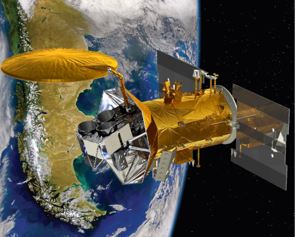
Proyecto adjudicado como integrante del comité científico NASA-CONAE de la mission SACD-Aquarius. (Dir: H. Karszenbaum, 2011-2015). Resolución MINCYT Nº383/10, marco del convenio de cooperación científica suscripto entre el MINCYT y la CONAE el 23 de marzo de 2010.
This multinational basin, covering 3.2 million km2, comprises the Río de la Plata and its main tributaries, the Paraguay, Paraná, and Uruguay rivers. This region is of significant social and economic importance because it is densely populated, has important agricultural activities (this area, includes the Argentinean ‘‘Pampa Húmeda’’ and is one of the richest agricultural regions in South America). This hydrographic network serves a population of about 70 million providing irreplaceable ecological/hydrological functions, such as mitigating large floods and droughts, recharging aquifers, supporting fish breeding areas and supplying the majority of the high quality fresh water. It comprises several dominant biomes (Pantanal, Gran Chaco, South American Pampas, Paraná wetlands among others) that provide both agricultural products and essential environmental services. It is also an element of GEWEX.
Flooding is of major concern in the Plata Basin. Most rivers have long and wide flood plains, which have been settled and cultivated. Over a considerable period of time (1950-73), annual floods were not extensive. This encouraged the belief that settlements could be built in locations that were subsequently proved to be at severe risk of flooding.
Among the years 1973 and 1998 a period of excess in rainfall was registered in the basin which caused a shift in the agricultural border, generating a larger surface suitable for different kinds of crops according to weather and climate variables. But also during that period, the rise in the level of large rivers in the basin, and its associated flooding, had a high socio-economic impact which involved, on top of the loss of human lives, damage to the property, to cultivated areas, to building infrastructure, roads infrastructure (and their works of art) and energetic transmission infrastructure, people’s evacuation, relocation of livestock, that is to say, a significant alteration in the normal development of the region’s activities (with its associated economic detriment).
The largest flood of the century occurred on the Paraná River in 1983 during a strong ENSO event.
For a year and a half after the event, the Paraná flood level was above street level in areas of Santa Fé, Argentina. Economic losses due to floods in Argentina during the 1983, 1992, and 1998 episodes exceeded US$1 billion each.
On the other hand, farm’s production is highly vulnerable to climate variations and the agricultural and livestock activities were also hit by periods of droughts starting from 1999. These droughts, like the one occurred in 2007, have caused very important crop losses, animal deaths, on top of water pollution, hydroelectricity problems, navigation problems, etc. Climate variability, which is interrelated with the possibility of soil usage and strongly affecting both the population and the agricultural and livestock production, stands out causing the highest impact.
PI: Haydee Karszenbaum
Co-PI: Dora Goniadzki
The La Plata Basin (LPB) (Spanish: Cuenca del Plata) (blue contour) 3,100,000 km hydrographical area that covers parts of Argentina, Brazil, Bolivia, Paraguay, and Uruguay. Current working areas: Chaco forest, Paraná basin and Pampas plains.
One of the main issues is the impact of global change and land use change (deforestation and replacement by intensive soy crop production) on regional weather, climate, hydrology and agriculture. More recently, extreme hydrological events (EHE) are affecting strongly different regions within this basin.


